GeoSmart

GeoSmart

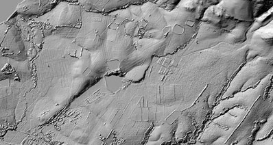
South Africa now boasts an accurate, high resolution depiction of the country’s terrain. SUDEM (Stellenbosch University Digital Elevation Model) combines various elevation data sources to provide a vastly superior 3D representation of the country. The SUDEM covers the entire South Africa at 5m resolution. A new, more detailed model, called DEMSA2 is also being developed. Please visit https://geosmart.space/products.html for details of these products.

For more information about this technology please contact InnovUS at +27 21 808 3826 or info@geosmart.space